
Ice Potential Friday Morning in the Mountains.
Thursday night into Friday morning a perfect set-up for freezing rain will develop for parts of the western Carolinas. An area of cold dry high pressure will “wedge” itself up against the mountains starting Thursday evening. This typical cold air damming event is when dry cold air gets trapped east of the mountains here in the Carolinas.
In this case lots of cold air will get trapped in the valleys across the mountains as well. The storm systems currently over the plains and another piece of energy back in Arizona will be moving east. This will provide warm air aloft that will ride up and over the cold dry surface layer of air creating freezing rain, sleet some snow and rain.

While this will mainly be confined to the mountains and the eastern slopes of the Blue Ridge. I can’t rule out some sleet or ice along I-40 briefly before changing to just rain. Even without the freezing rain east of the mountains Friday will just be a miserable day with highs only in the upper 30s and light rain or drizzle all day across the piedmont.

Freezing Rain Location:
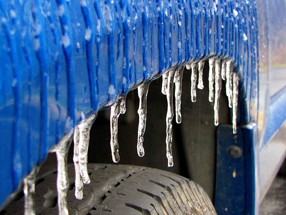
The real problems will be in the mountains where the cold air holds on longest and some slight up-sloping from the east/northeast wind will provide cooling to keep this as freezing rain for some time. While the roads will be slick for sure I always watch for where we get 0.25” of ice accumulation or higher. This is the threshold for damage to trees and power lines. Right now there is a 10% chance most of the mountains could see that threshold met.


Timing:
This could start as early as Thursday late evening but the worst will be early Friday morning 4-10am. Depending on how much cold air holds on some high mountain valleys could see freezing rain last until mid-afternoon Friday. I would almost guarantee a Freezing Rain Advisory will be issued and maybe an Ice Storm warning for Watauga & Ashe counties if this trend continues.


