Sandy’s Cold & Snowy Side
The impacts of Sandy are about to really be felt across the North Carolina Mountains starting tonight through Wednesday. Today is the time to prepare for damaging winds and heavy snowfall that combined will cause major tree and power line damage. The time line on all of this is starting tonight and ramping up Monday with the worst occurring Monday night through Tuesday night. Here’s a look at the possibilities as things unfold tonight into early this week. Video Discussion below…
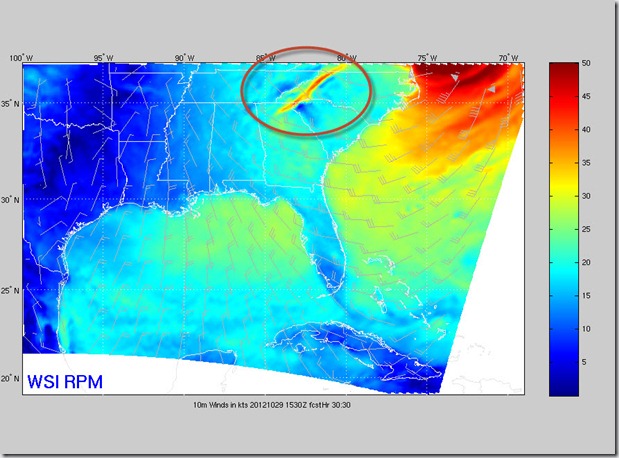
The first thing that jumps off the modeling are the wind speeds for the mountains. Our RPM model shows winds late tonight starting to ramp up to 30 mph. (All these maps show winds in knots per hour)
Then by Monday 30-50 mph.
Then late Monday into Tuesday 50-70 mph winds along the whole Appalachian chain.
Snowfall is going to be very elevation dependent with areas above 3000’ seeing the heaviest. Even at lower elevation the snow will have a high impact because temperatures will be so cold. Icy roads will be an increasing issues even down to the valley floors while high up the heavy snow will weigh down on trees and cause them to break. This combined with the high winds above make for a bad recipe for power outages.


