
Sneaky late week storm and possible Thanksgiving Nor’easter.
Well looky here a little sneak attack of much-needed rain just might develop Wednesday-Friday for the Carolinas. Not that I’m complaining because we need the rain bad. The cold front that moved in today stalsl offshore tonight as a weak area of low pressure tries to form in northern Florida tomorrow.This could bring us some decent rain if it tracks close enough to the coast. That’s a big if! Here’s a look at our Futurecast/RPM model for Thursday and Friday.


This would be a chilly rain with temperatures likely only in the upper 40s to low 50s if we are lucky. We will have to watch the mountains as cold air gets trapped in the high valleys which could spell some freezing rain. I hate to even mention it but the GFS does have a sleet/freezing rain and rain mix for Charlotte early Thursday… but I’m not buying into that yet just not cold enough.

Thanksgiving week Nor’easter?
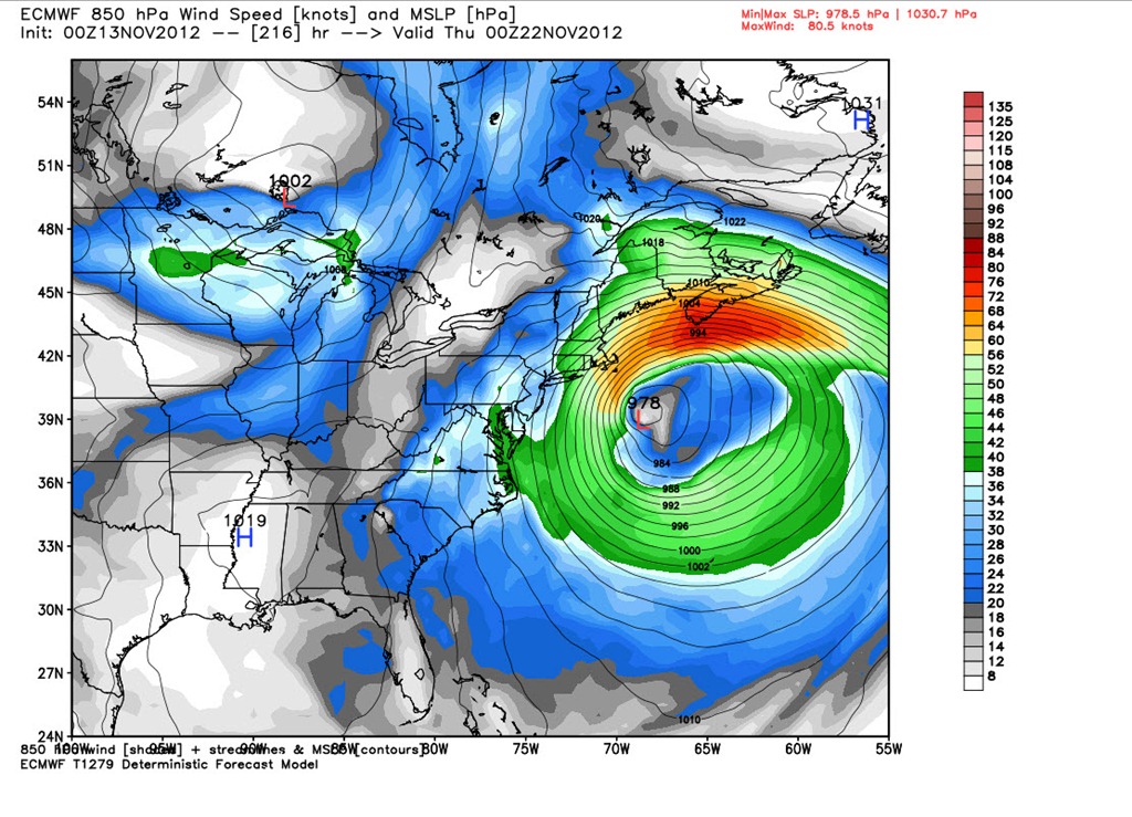
The ECMWF model has been hinting at this for a few days but now it’s doubling down on both the track and intensity. It keeps a large nor’easter close to the coast Wednesday into Thursday. Which if this holds true what a holiday travel mess we will have. The wind alone could cause major flight delays. Then if we have enough cold air in place we could see some inland snow, though that is highly uncertain at this point.

While the ECMWF model has doubled down the GFS is a bit confused. It has the blocking high over eastern Canada which will either force the storm out to sea or right it back into the coast. The GFS has issues with blocking and my guess is it will end up coming back to the coastal storm again.


Either way start planning ahead for alternative travel or be ready for your more than typical travel nightmares next week for Thanksgiving. Remember this is still a week out and a lot can change, both for the better or the worse.


