
Snowfall potential for Monday-Tuesday
The set-up is clearly there for some snow late this weekend into early next week. The only real question is will we have just flurries or something more substantial?
A large trough of low pressure will move in this weekend and at the base of the trough I expect low pressure to form off the Carolinas Coasts on Sunday morning.

This low looks to stay pretty far offshore, but it might clip parts of eastern North Carolina with some snow mixed with rain. This will be the table setter for the next system.
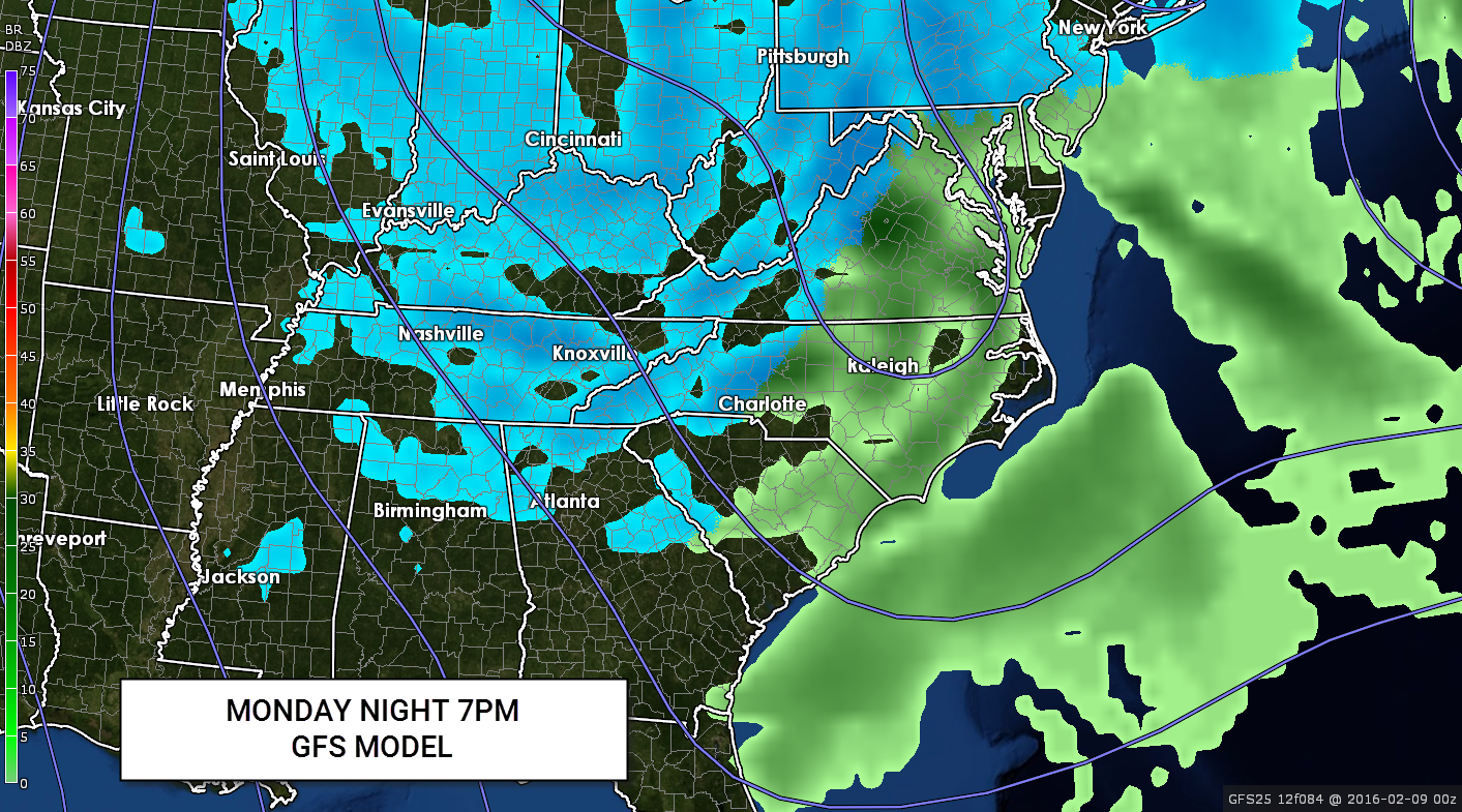
On the back side of the Sunday coastal storm, a second surge of both arctic air and another strong short wave dives south from Canada. This by itself will kick off some excellent snow in the mountains thanks to Northwest flow snow.  The question is how much of the snow makes it over the mountains and could it kick start another coastal low? I think there is a chance we see a secondary low form but even without it the amount of energy, cold air aloft and heating of the day should kick off scattered heavy snow squalls across the area Monday afternoon. Think like pop-up afternoon thunderstorms but with snow, in this case, Monday afternoon and possible even again early Tuesday.


It’s way too early to even talk about amounts, but it’s a safe bet the mountains could see a prolonged northwest flow snow event. Which means the confidence in those areas seeing accumulating snows is fairly high right now.
It’s safe to say this is a very cold and dynamic set-up so buckle up this could be a couple of crazy days from Super Bowl Sunday until mid-week next week.
Current 1″ snowfall Chances from Sunday 7am to Monday 7pm:


