The Big Snow & Ice of January 10-11, 2011
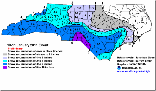
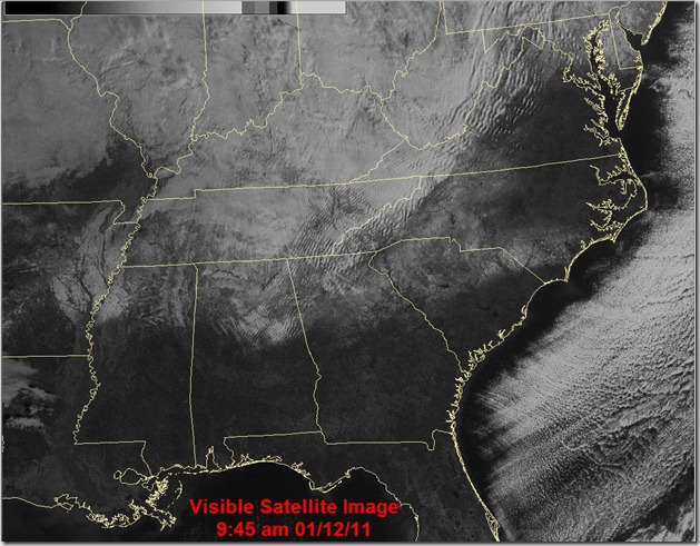
Well we saw this one coming for days but it still ended up being an amazing winter storm for the Carolinas. It started early Monday morning around 3-4am and kept going until mid-day on Tuesday. By the time is was all done a solid 4-6” of snow fell across the area with localized higher amounts. The really damage though was done on Monday night into Tuesday when a .25” of ice in the form of freezing rain fell on top of the 4-6”. Here’s a look at the final accumulation maps from both North Carolina and South Carolina.
North Carolina
South Carolina
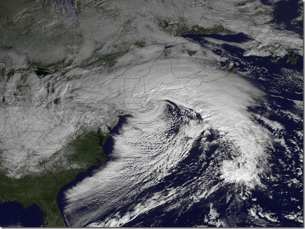
The amazing shot from space truly shows the reach and size of this storm.
When it was all said done Charlotte-Douglas International Airport picked up officially 4.1” which is a new daily snowfall record for Jan 10th. The old record was 3.0” in 1962. this is also the first 4” snowfall since 2009. For the whole winter we have officially had 6.1” making this the snowiest winter since 2003-2004 and it’s only early January.


