4 Day Severe Outbreak: Day 2
For the 4th straight day severe weather will affect almost the same areas of the country. I can’t recall a time when I’ve seen a moderate risk for severe weather so many days in a row. Today a High Risk has been issued for the ARKLATEX and yesterday we may have had an EF-5 tornado touchdown in Vilonia, AR. Just amazing!
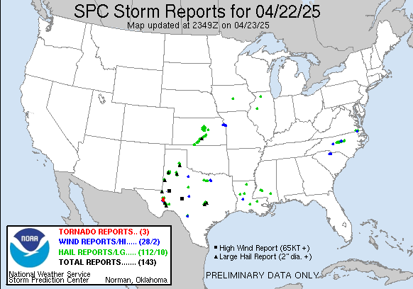
Here’s a look at the the outbreak from the SPC(Storm Prediction Center) maps and some of the wording they are using in their outlooks.
Day 1 (Yesterday)
Day 2 (Today)
...DANGEROUS TORNADO AND SEVERE THUNDERSTORM OUTBREAK EXPECTED LATE
   THIS AFTERNOON INTO TONIGHT FROM NE TX ENEWD TO THE MS RIVER...
Day 3
 ...LOWER GREAT LAKES REGION SWWD TO THE CENTRAL GULF COAST...
   ***POTENTIAL FOR A SIGNIFICANT/WIDESPREAD SEVERE WEATHER EVENT --
   INCLUDING THE POSSIBILITY OF A TORNADO OUTBREAK -- REMAINS EVIDENT
   THIS FORECAST...CENTERED ON THE MID SOUTH/TN VALLEY AREA.***
Day 4


