
Why it’s Called Uptown & Why Charlotte’s Uptown Streets go Northeast.
Ever notice how we call downtown Charlotte Uptown? Or why North Tryon really runs Northeast? Well, I did, and while I have blogged about this before it was the way the streets run in Uptown that made me want to research this further. Most cities are settled near a body of water or some other important navigational feature like a port or railroad. Charlotte settled for what at the time of its founding was the middle of nowhere. So I always wondered why it was set-up the way it is.
UPDATE: I wrote this blog post in 2013 and since then so many people continue to argue that it was all a marketing idea ad had no basis in history. I don’t disagree it was brought back up for marketing but it has some fundamental basis son geography and history. For instance, are we just going to ignore that the fact that Trade and Tryon is the highest point in the “Downtown/Uptown” area?

Why Uptown?
This gets debated all the time but there is a historical meaning and a PR meaning to this term. It is true that in the 1980s the leaders in Charlotte wanted to make downtown sound really cool so they started promoting it as “Uptown”. This term was not entirely just made up though. It dated back to when Charlotte was just a trading post at Trade and Tryon. (Hence the Trade street name) Trade and Tryon sits on a ridge between Irwin and Sugar creeks. The early residents of Charlotte would walk or ride their horses to Trade and Tryon to buy and sell their goods. They literally had to go uphill so they would say they were going “Up to Town”. It later was shortened to just going “Uptown”. As the city grew it slowly went back to the term downtown, when the industrial revolution took place. Like most other cities at the time. It was later resurrected in the 1980s as a PR campaign to make the downtown sound better.


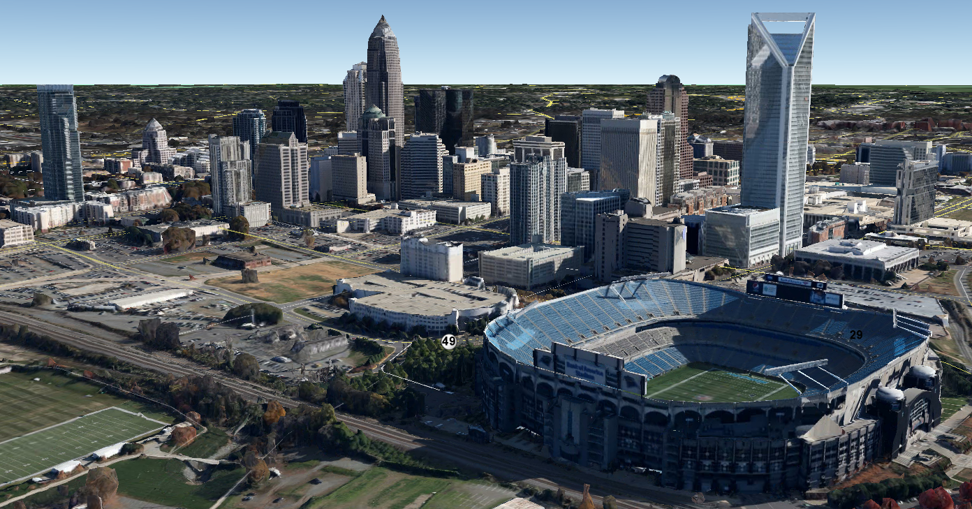
So what’s up with the layout of Charlotte?

I have always wondered why the grid layout of Uptown was laid out facing Northeast. Most people mistakenly think that all the streets run North-South and East-West. They don’t they actually run almost due Northeast-Southwest and Southeast-Northwest. I figured there has to be some reason for this.


Well remember why the first residents started calling downtown Uptown? It appears that the same ridge that gives Uptown it’s name is actually oriented Southwest to Northeast. My guess is it was easier to build the first path/roads through Charlotte along the top of the ridge. In the location of what is now Tryon street. If you look at the creek basins you’ll see the ridge runs almost right along Tryon street. This also would have made crossing Sugar and Irwin creeks into Charlotte at a 90° angle much easier for early settlers

Gold mines also played a role:
Another reason the city is oriented to the Northeast are the early gold mines which really got the city going in the early 1800s. The formation called the Charlotte belt and really all the geological formations in the Carolinas run from Southwest to Northeast. It’s likely some of the first miners built roads and trails that ran this direction so they could mine at right angles to this formation.

Conclusion:
So what do you think? It’s clear the subtle geography of the area played a big part in the way the city was laid out. Even though I’ve been here for over 18 years now I still can’t figure out why the roads all change names 5 times. ![]()
Please share your thoughts or any insight you might have. Charlotte does have a history contrary to popular belief and its new appearance. I am always interested in learning more so leave a comment below.
")


