Winter Storm Update
Okay here’s the latest on our mini storm today and the big one for Monday!
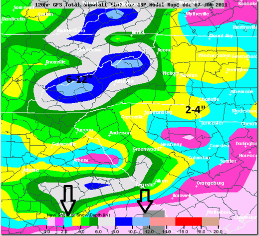
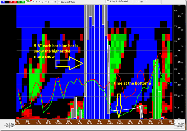
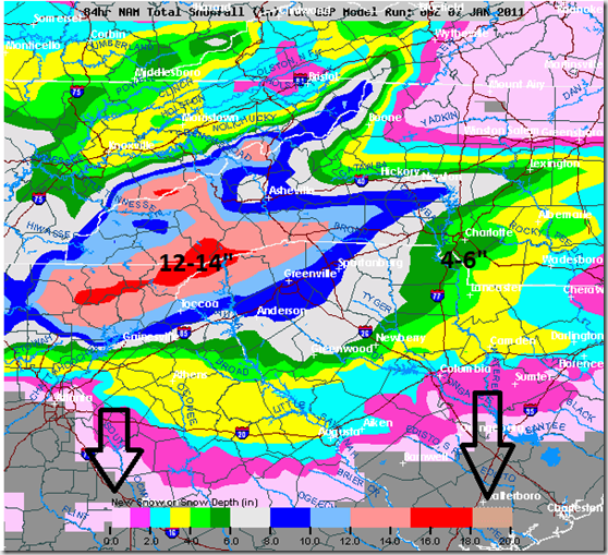
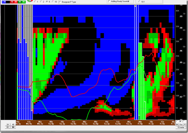
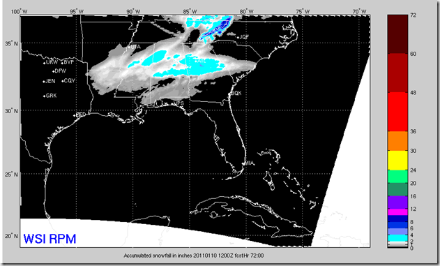
Here’s the latest model forecasts, the NAM is just crazy but is usually over does the amounts but is very good with the thermal fields. Basically it does well with the temperatures. The NAM also only goes out through 2pm Monday the heaviest might now be until Monday night. The GFS timing makes good sense but there is some differences in amounts. Then last is out RPM “Futurecast” model it runs only through 8am Monday, but gives you a good idea of what’s coming our way.
GFS
Soundings from the GFS
NAM Model
Futurecast a.k.k RPM
Here’s my thinking as of 10am Friday Jan 7, 2010:
Mountains:
6-12” maybe more on the back side
Foothills & I-40 corridor:
3-6”
Charlotte Metro and southern Piedmont:
4-7”
Upstate & South Carolina, south of HWY-9:
3-5”

