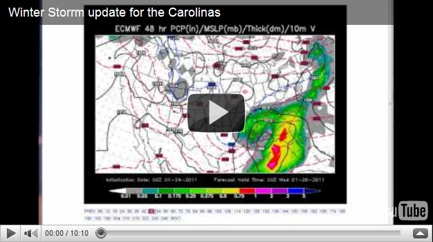
Winter Storm will bring much needed rain & some snow
While our large winter storm is looking more and more like a very good cold and soaking rain for the Charlotte area. There’s still a chance for a little snow at the end as the storms moves out. If you live north and west of HWY 64 be ready for a heavy wet snow. Here’s the run down of what could happen based on the current data.
Here’s where the storm is right now. 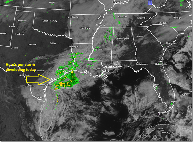
Here’s the ECMWF model with a cold pocket aloft moving overhead Wednesday evening. This will likely change the rain to a quick bust of snow Wednesday evening, something I’m watching closely. 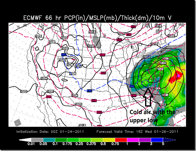
NAM model kind of does the exact same thing at the tail end of the storm theirs a period of heavy snow for 1-3 hours, right over the western Carolinas. Including a large section of the piedmont. 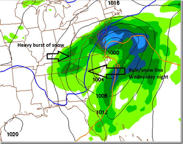
NAM sounding shows it too! 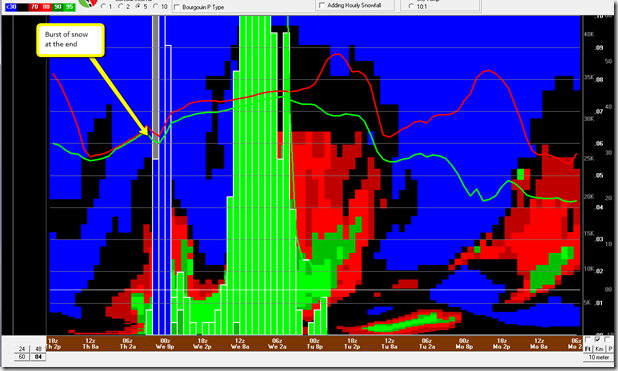
Forecast scenarios right now:
Charlotte/Metro and surrounding area: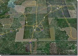
The basic gist right now is mostly a cold rain from Tuesday night into Wednesday afternoon for Charlotte and the surrounding piedmont. Then late Wednesday a brief period of snow and colder air re-freezing roads which could cause some slick roads on Thursday morning.
I-40 Corridor and northern piedmont: 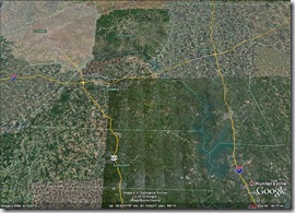 Likely a cold rain too but some wet snow mixing in from time to time. This is the one area that a small shift in the track could bring accumulating snows. I wouldn’t be shocked to see more snow here than we are thinking right now.
Mountains and areas west & north of HWY 64: 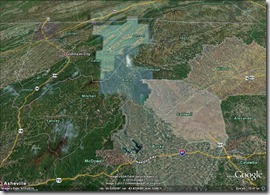 This is likely going to be a very wet heavy snow with rain mixed in. Accumulations could be from 1-3” below 1500’ in elevation but above 2500-3000’ accumulations could be 4-8”. Need to watch closely in case some cold air gets trapped in the high mountains valleys, then we could see some freezing rain mixed with snow. Likely going to see a Winter Storm Watch issued here by tonight.

